

No Huetter Bypass · Review
Rethinking the Rathdrum Prairie Corridor
by Brian Rogers 4 min read
On this page
A Federal Perspective on Smart Transportation Solutions that Minimize Eminent Domain. This post rebuilds the group’s infographic as text, charts and tables. The original file is kept as an exhibit at the end.
The challenge: unprecedented growth
The Rathdrum Prairie is one of the fastest-growing regions in Idaho. This rapid expansion places immense strain on existing transportation infrastructure, leading to congestion and safety concerns. The current approach, however, leans heavily on solutions that may lead to unnecessary property condemnation.
Critique of the current PEL study
The Level 2 magazine (ITD_RathdrumPrairie_PIM3_Magazine_v1_PDFUA.pdf) reveals a Planning and Environment Linkages (PEL) study that has prematurely narrowed its focus. This “broad brush” approach has overlooked critical solutions that align with federal guidelines for safety, multi-modal access, and community preservation.
A better path forward: the federal PEL framework
A proper PEL study, guided by Federal Highway Administration (FHWA) principles, links planning to environmental review to create a holistic, flexible transportation network. This process emphasizes collaboration and data-driven decisions long before a single design is chosen.
Comparing solutions: land impact vs. efficiency
Innovative solutions can deliver superior traffic flow and safety with significantly less need for property acquisition compared to traditional road expansion projects.
The multi-modal mandate
Federal guidelines emphasize a “complete streets” approach. A successful plan for the Rathdrum Prairie must integrate a variety of transportation modes to serve all citizens safely and efficiently.
Recommendations for a revised study
To ensure a future-proof, equitable, and efficient transportation system, the PEL study must be re-evaluated. The focus should shift from massive expansion to intelligent, multi-faceted design that prioritizes safety and minimizes land acquisition.
- Step 1 Phase 1: Re-engage and re-scope Initiate a transparent public review of the study’s initial data and assumptions. Broaden the scope to include a comprehensive multi-modal needs assessment.
- Step 2 Phase 2: Develop diverse alternatives Mandate the development of multiple design options for each proposal, explicitly including under/overpasses, “road diet” configurations, and transit-only lanes.
- Step 3 Phase 3: Transparent evaluation Present clear, data-backed comparisons of all alternatives to the public. The evaluation matrix must transparently score each option on property impact, safety improvements, cost, and multi-modal effectiveness.
This analysis is based on a review of federal transportation guidelines and the Rathdrum Prairie PEL study documents.
Exhibits
The original files, kept as published. The summary above and the text of this post carry the same findings.
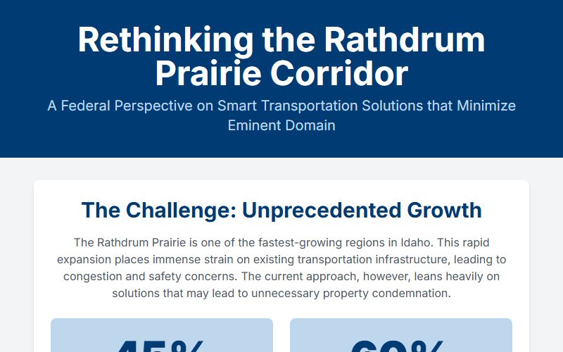
Rathdrum Prairie Transportation Analysis
The group's original infographic, kept as published: the challenge, the critique of the PEL study, the federal PEL framework, the comparison chart and the recommendations.